Vila de Rei is located in the center region of Portugal and has around 2.500 inhabitants.
2km from the town you will find the Geodesic Center of Portugal, in Serra da Melriça. On top of this mountain there is a landmark with 20 meters high, known as the “Picoto”, it marks the center of the country in terms of geodetic coordinates.
With 600m altitude this spot allows its visitors a 360° view over a wide territory, highlighting Serra da Lousã and Serra da Estrela, which if weather is clear can also be seen and it is almost 100 km away.
Vila de Rei received the royal charter in 1285 from King D. Dinis. In the fourteenth century, the Templar Knights and the Order of Christ have populated, developed and defended this territory.
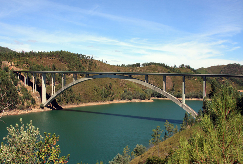
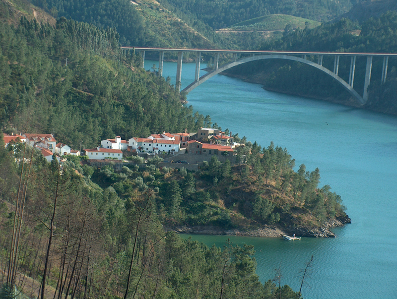
Nowadays this county is experiencing a development boom as a result of carrying out several public works, where we highlight the bridge over the river Zêzere, the variant road to EN2 between Vila de Rei and Abrantes as well as several educational infrastructures, sports, culture, public security and urban requalification works. From now on conditions are created for the harmonious and sustainable development of the municipality.


